After using the MRT a few times, I decided to take a look at the park again. The trip started right next to the MRT. It is on the left side of the MRT viewing from Telok Blangah Rd.

It is a long wooden bridge that extends right to the water front and slightly beyond. A streams flows besides the bridge. You can see mangrove trees and its roots at low tide.


On the left of the bridge you will find a path that starts with a round about.

Walking straight through the round about and you will be in a tree lined path. This path leads to Belayer Shade. It is a place where you can take a rest. There is a toilet here. We will skip the beach first and goes right towards the round about road. Keep to the left of the round about and you will see a path like below.

Take this path. From this point you will be walking up hills. This path is a historic scene path. There are a few WW2 gun batteries in the park. I saw a storage area (now sealed) along the way. It was dated 1892.


Walking to the end of the path and you will find a hut that has a sign that says "meeting point 1". Turn left into the hut and look for a path after it. This path actually leads backwards from where you come from. Look for a path that goes down the hill and follow it. It is a steep downhill path with staircases. You will hit the beach at the end of it.
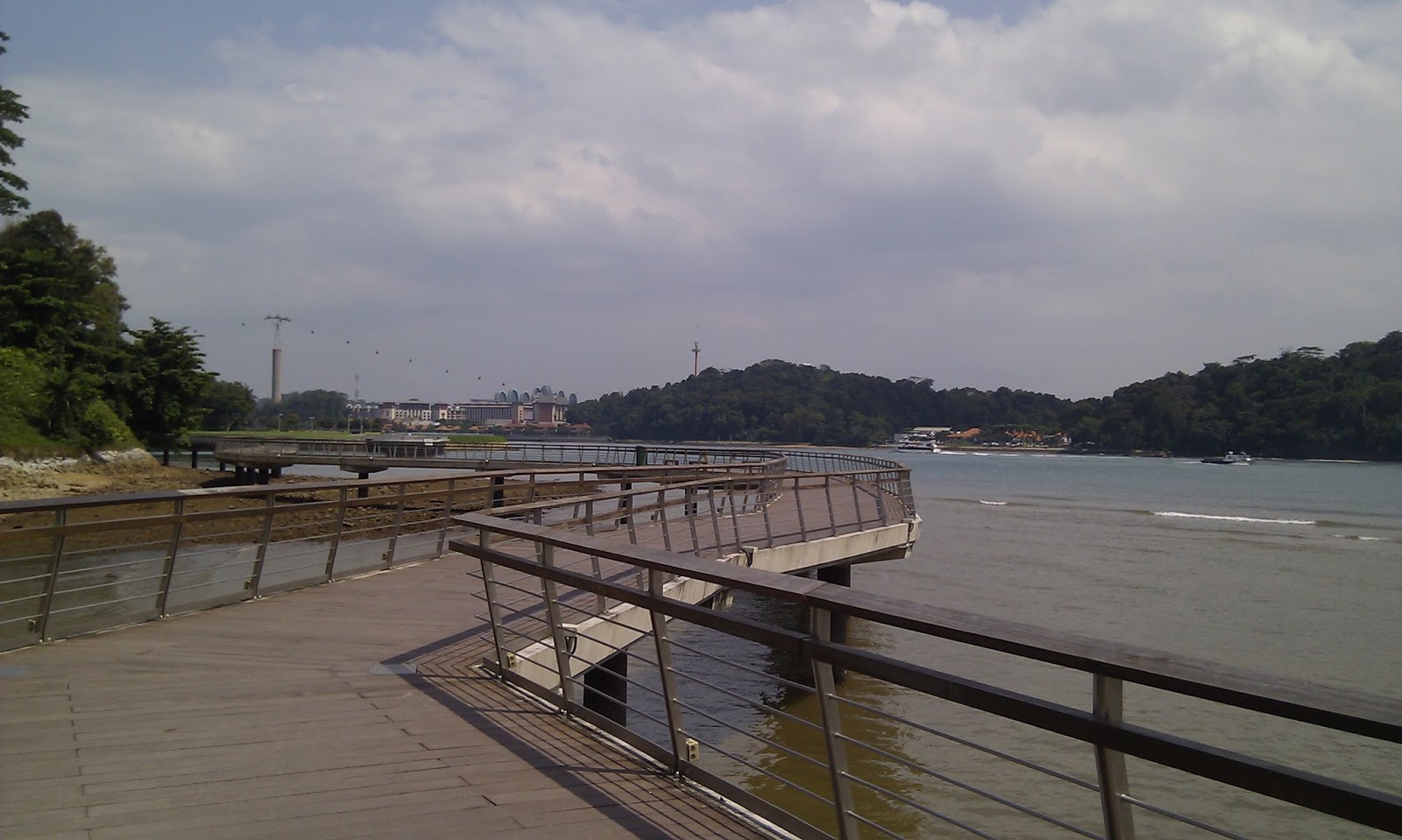
Turn left and walk towards the pier. This pier is currently closed from public access. Take a stroll on the path close to the beach. There you can see the remains of a gun post and a pillar besides it.

On the way you will also find a stone structure called "Dragon Teeth Gate". It looked artificial. I don't know the history of it. You can probably read the description there.


No comments:
Post a Comment