I was curious and wanted to see it thus go for the exploration trip. Since the place is pretty small and probably void of any features, the trip start at Alexandra Road. Below is the GPS recording.

As usual, I took the trail instead of the bridge at Forest Walk (Southern Ridges). Noticed some artwork near Lock Road. There are wire mess in the shape of butterflies. Here are two of them. Not very pretty and I most probably missed them in the past.


The Antidesma (no common name) is fruiting.

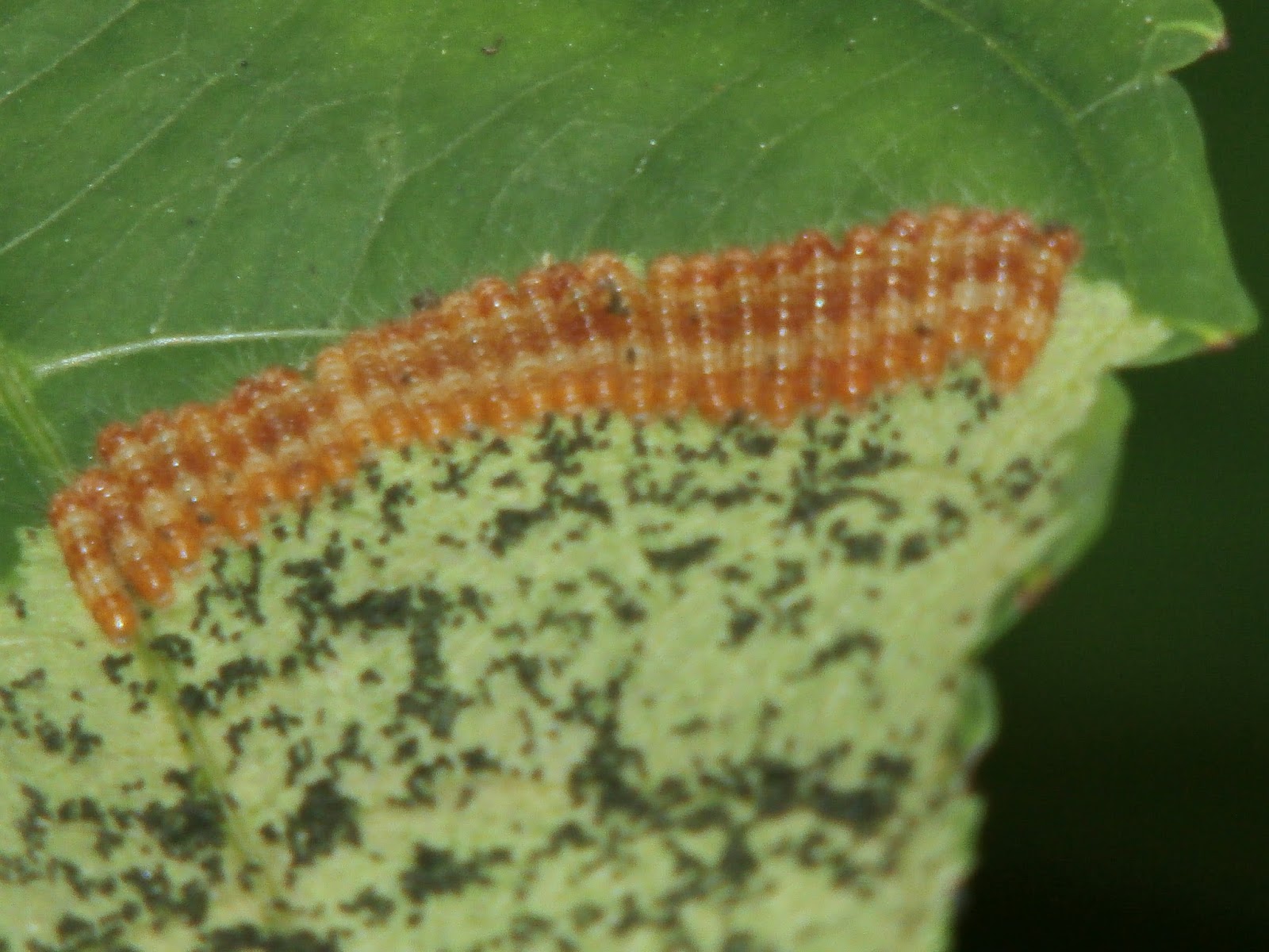
Have you seen a row of caterpillars gnawing on the leaves?
Never get tired of looking at a Lesser Dart butterfly.

Damaged but still elegant Felder's Royal.

The Orchid Tree is just before the Henderson Bridge. Its flower is beautiful even fallen already.


This Borneo Ru is nice but two efforts to take pictures of its fruit failed. Just look at the tag. Can you guess what it says? I only guess its name from the word Gymnostoma and Borneo. There is only one that has this combination.


To reach the trail, I had to open a steel gate at the small park. It is latched but unlocked. Beyond it is uncharted trail. There are maps showing the path but usually it won't be helpful as there is no marking. Luckily the foot paths are still visible and there are bricked step still showing.
It isn't far before I reached the reservoir. The first thing I noticed is a water pump still working. Its probably some one still using the water.

The reservoir looks run down but its brick wall, where I stood, is still sturdy.


Here the foot path splits. Tried the left one and saw this tree fallen over the stream with narrow bricked wall. Turn back to the other one and find the path disappears after a while. No choice but to craw under the fallen tree. Took a picture after the ordeal.

The path is clear and easy after that. Took a final trail between Keppel Hill Rd and Telok Blangah Rd as indicated in the map. Mission accomplished. The total distance covered is 4 KM.
Here is the WikiLoc Map. No album as Google Photos is very unfriendly. It does not update the photos after uploading. I have yet to update all the tagging and naming so the pictures has not been uploaded yet.
No comments:
Post a Comment